Nature Reserve: De Krang

De Krang
Hulsweg 2
6005 PL
WEERT

Area of natural beauty

The Krang is a nature reserve directly southwest of Swartbroek.

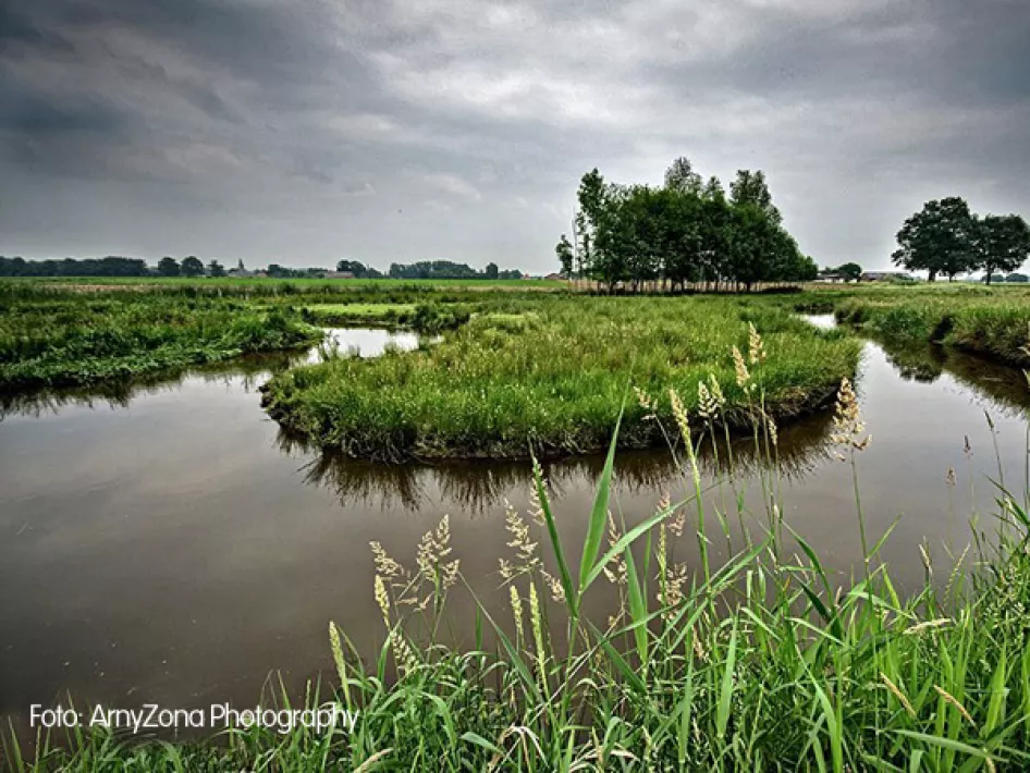
This nature reserve is situated between the Leukerbeek in the north and the Tungelroyse Beek in the south, although there are also some areas on the other side of the streams.
It is owned by Natuurmonumenten and has an area of 301 ha. It consists of a core area: Roukespeel and Laagbroek. These are both peel pines: low-lying bowls in the middle of higher area. There are also a number of scattered parts, including the Kootspeel, the Secretarisbos, a somewhat drier forest on a higher part, and the Vogelbosje directly east of Weert.

Opposite Swartbroek is a small country estate forest with a number of older oaks.
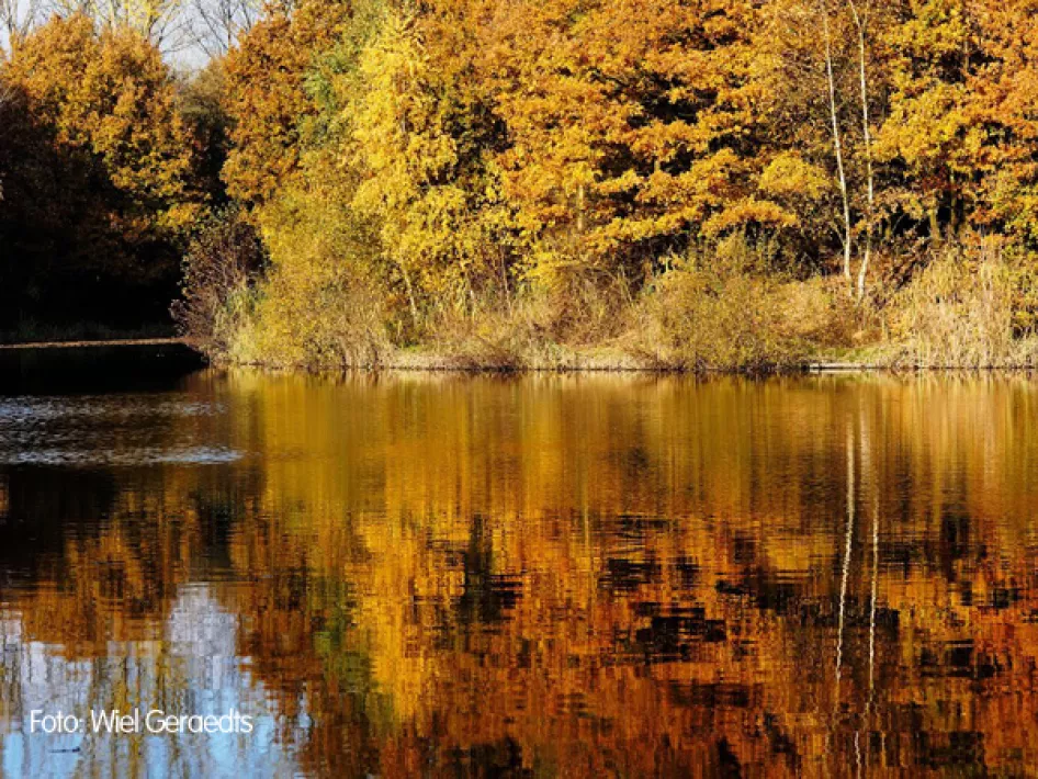
The Krang consists of deciduous and coniferous forest, coppice, grassland and old bulbous fields. Because of the difference in height and humidity, there are many different species of plants and animals.
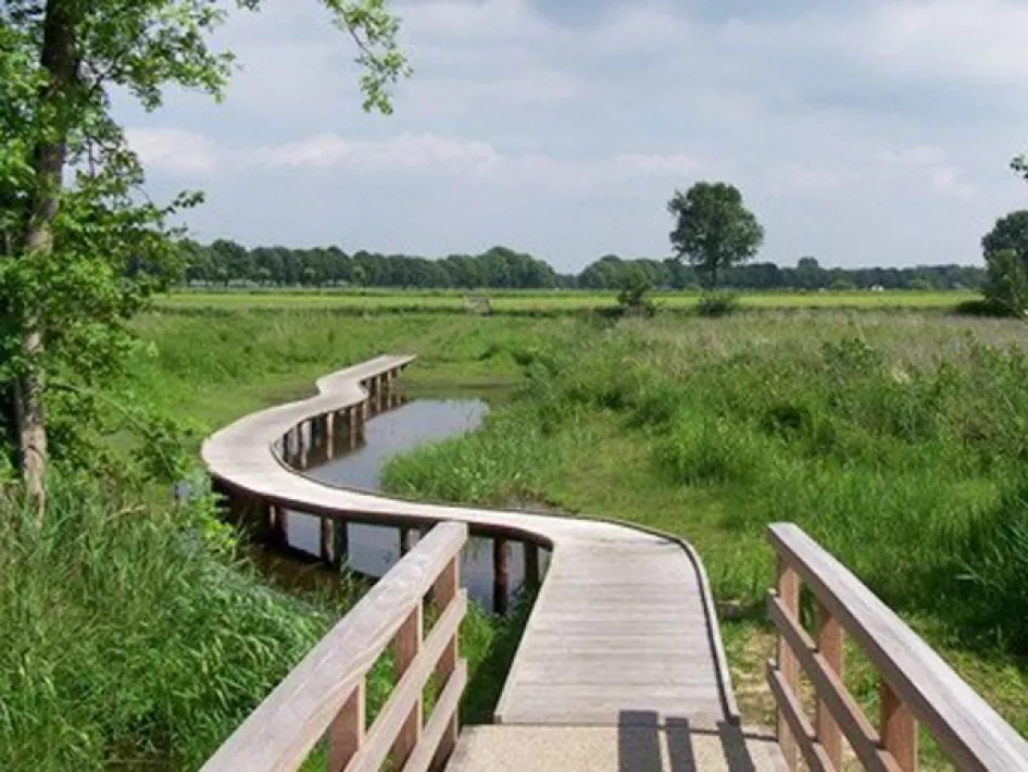
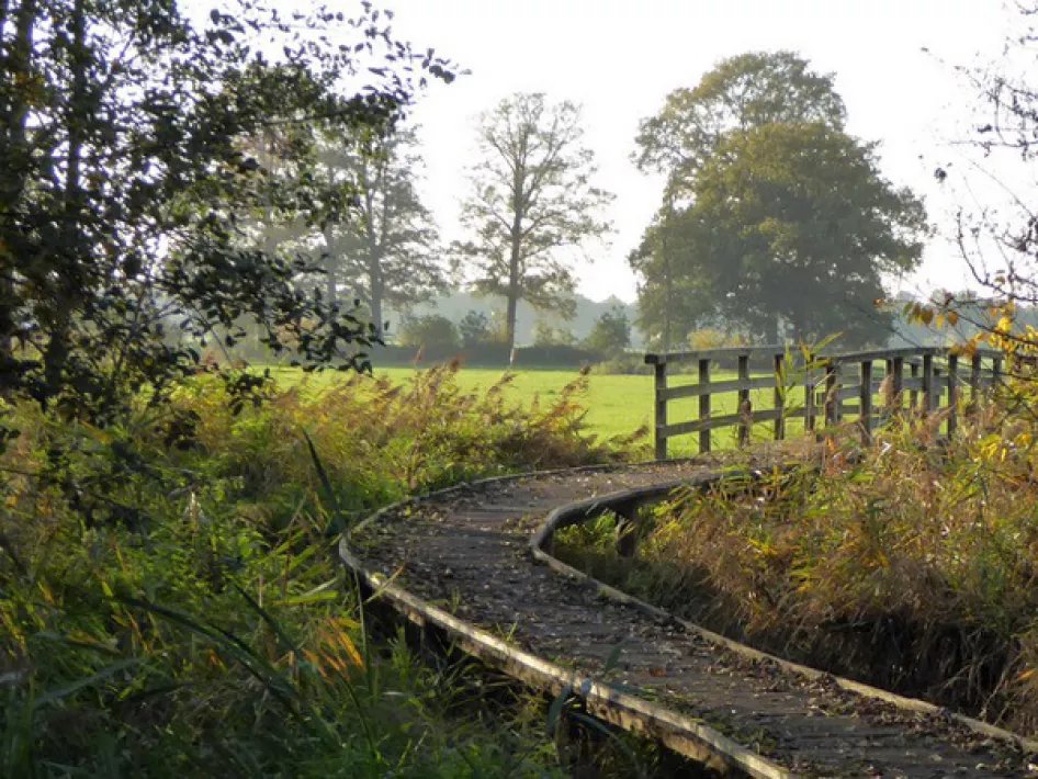
There are also several walks set out and there is a bird watcher from where you can spot various birds over a lake.
 

Bike-Tours
Hiking tours

Terug naar natuurgebieden 

Nearby

The distances mentioned below are the distances from the location above.

 
1,04km
Horse riding trails
 
1,07km
Walking/hiking routes
 
1,07km
Walking/hiking routes
 
1,07km
Walking/hiking routes
 
1,07km
Walking/hiking routes
 
1,50km
Cycle route
 
1,53km
Cycle route
 
2,99km
Cycle route
 
2,99km
Cycle route
 
2,99km
Cycle route
 
 
3,28km
Walking/hiking routes
 
 
3,84km
Cycle route
 
3,84km
Cycle route
 
 
4,62km
Cycle route
 
 
5,00km
Mountainbike route
 
5,25km
Walking/hiking routes
 
5,68km
Walking/hiking routes
 
5,68km
Cycle route


5,95km
Walking/hiking routes
 
5,99km
Cycle route
 
6,04km
Walking/hiking routes
 
6,10km
Walking/hiking routes
 
6,11km
Walking/hiking routes
 
6,13km
Walking/hiking routes
 
6,13km
Walking/hiking routes
 
6,47km
Cycle route
 
6,48km
Walking/hiking routes
 
6,52km
Walking/hiking routes